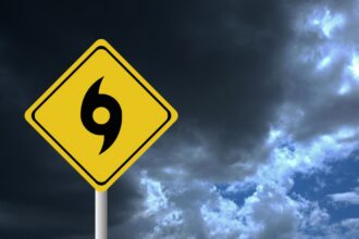
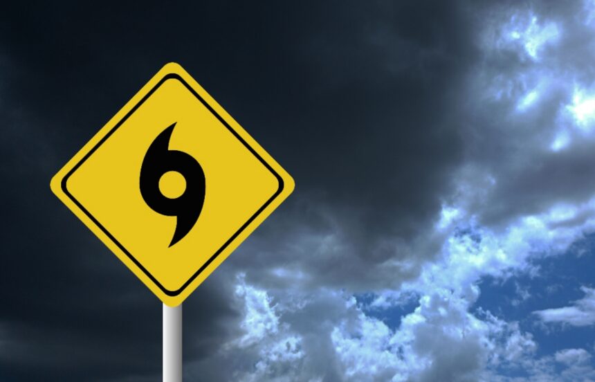
When meteorologists announce that a hurricane season will be “down” or “below average,” the natural reaction of the population is usually one of relief. However, the history of meteorology shows that complacency is the number one enemy of survival. In the Atlantic tropical cyclone cycle, low activity has never been synonymous with low intensity.
To understand the real danger, one only needs to look at the past and analyze how current science and technology are trying to prevent history from repeating itself. This June 1, the 2026 hurricane season kicks off and more than ever it is important to know the real risks.
Andrew’s ghost: One storm is enough to cause catastrophe
They foresee a less active cyclone season, but not forgetting the devastation of Andrew #NTelemicro5 #FirstBroadcastNT5 #Atlantic #Hurricanes #Andrewhttps://t.co/qlnIcsl9uk pic.twitter.com/7Ud6fKmJYq
– Telemicro News (@NTelemicro5) June 1, 2026
The year 1992 was classified as an extremely calm season due to the presence of the ‘El Niño’ phenomenon, which generates strong winds in the upper atmosphere that tear apart cyclones in the Atlantic before they consolidate.
There was no significant activity for months.
However, in August of that year, the first named storm of the season suddenly transformed into a Category 5 monster: Hurricane Andrew.
Andrew devastated South Florida, destroying 64,000 homes and leaving $27 billion in losses.
The lesson was painful but clear: it doesn’t matter if 20 storms are forecast or just one; if that one storm makes landfall in your community, it will be a catastrophic season for you.
Drones and Artificial Intelligence: The new era of prediction
As the 2026 Atlantic hurricane season begins, NHC Director Dr. Michael Brennan shares an important message about hurricane preparedness.
Learn more at https://t.co/tW4KeGdBFb and https://t.co/smDd2LqFsl pic.twitter.com/SbmmQG8Zni
– National Hurricane Center (@NHC_Atlantic) June 1, 2026
Unlike in past decades, the National Oceanic Administration (NOAA) now has a technological arsenal designed to reduce uncertainty, which remains the greatest challenge in predicting the path of a cyclone.
Hurricane hunter drones: Unmanned devices are launched directly into the eye of developing storms to measure pressure and wind, improving intensity forecast accuracy by 10%.
The evolution of the “Uncertainty Cone”: The traditional weather cone has been redesigned. It now includes color-coded inland alerts by county, effectively representing up to 90% of the chances of where the center of impact will be located.
Combined flood maps: Since more than 50% of hurricane deaths in the last decade were due to flooding rather than winds, new satellite hydrological models track rising water in real time to predict flash floods.
The contrast of the oceans: Atlantic vs. Pacific
Today is the first day of the 2026 Atlantic Hurricane Season. We encourage everyone to be prepared by following @Readygov: https://t.co/YbTCtJCzgd for tips to protect yourself & your family. Stay up to date with the latest forecasts from: @NHC_Atlantic: https://t.co/V7qLSU9QrI pic.twitter.com/JuO975DSZP
– FEMA (@fema) June 1, 2026
The global behavior of hurricanes is a game of thermal balance.
WhileEl Niño pacifies the waters of the Atlantic (reducing estimates to an average of 14 storms and 6 hurricanes), it produces the opposite effect in the Eastern Pacific.
In this region, warmer waters fuel extremely aggressive seasons that often hit the coasts of Mexico and the Hawaiian archipelago hard, forcing evacuation protocols to remain active throughout the year.
Filed under: Hurricane season 2026