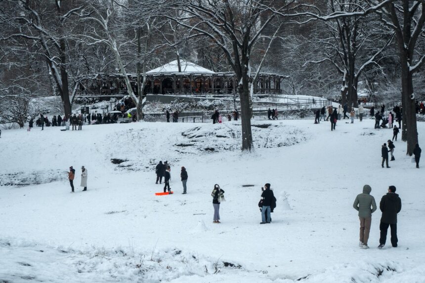
An intense winter storm reached its peak Monday in the midst of New Year’s Eve celebrations, affecting large parts of the northern and eastern U.S. with snowfall and freezing rain, and causing power outages in New York State, according to authorities.
The storm, which has disrupted air travel with thousands of flight cancellations since Dec. 26, today stretches from the upper Midwest to the Great Lakes region and New England, according to the National Weather Service.
Winter Storm Hits US
❄️✈️ In the middle of peak travel season, a severe winter storm hits the northeastern U.S. and unleashes chaos.
Snow-covered streets, more than 1,500 flights canceled or delayed, and a state of emergency in New York and New Jersey.
⚠️ Authorities remain on alert for… pic.twitter.com/3UOQehghpY
– Fuerza Informativa Azteca (@AztecaNoticias) December 29, 2025
In New York State, the ice storm has caused power outages to thousands of homes and numerous vehicle accidents in east central New York.
In the more northerly Adirondacks region, where ice on the roadway has seriously complicated traffic on major highways.
The system, described as a severe cyclone, has brought blizzard conditions with heavy snowfall to the Midwest and Great Lakes.
Meanwhile, inland New England will see freezing rain and sleet, later changing to rain as warmer air moves in during the day.
Snow accumulations will be well in excess of 30 centimeters in parts of the Great Lakes, especially along the southern shore of Lake Superior, where up to 60 centimeters of snow could be reached.
The most severe conditions are expected over the central Great Lakes during the morning before the system begins to move into southeastern Canada.
Although snowfall intensity will gradually decrease throughout the day, snowfall is expected to persist through Wednesday.
In the lower Great Lakes, rain associated with a cold front will give way to new snowfall during the day.
The flightAware platform reports Monday delays on more than 700 flights and the cancellation of a hundred more, especially in areas associated with snowfall and freezing rain.
Cold front in Florida
Here’s a look at the strong cold front that brings #Winter back to Central #florida. Lows will drop into the 20s/30s #NewYearsEve morning! Stay with #weshwx for updates! pic.twitter.com/EuljGOGhcU
– Tony Mainolfi (@TMainolfiWESH) December 29, 2025
In addition to snow, the advance of an arctic front will bring an abrupt end to the recent period of record temperatures across much of the country.
Maximum temperatures will drop between 17 and 22 degrees Celsius compared to the previous day in large parts of the center of the country.
The front will carry heavy rain and some isolated thunderstorms as it moves rapidly along the East Coast and Florida before moving into the Atlantic and Gulf of Mexico.
In the western part of the country, the outlook will be mostly calm, with the exception of southeastern New Mexico and southwestern Texas, where the extreme arctic front could generate accumulated snowfall in excess of 6 inches and near blizzard conditions.
Despite the widespread cold in the East, forecasters anticipate a rapid rise in temperatures in the northern and central Plains starting tonight and through the rest of the week, driven by a system known as the ‘Alberta clipper’, which will bring warmer air into that region.
Authorities recommend the population to stay informed and take precautions in the face of adverse weather conditions, especially in areas with severe snow, ice and high wind warnings.
Filed under: Winter storm hits US
With information from EFE


