
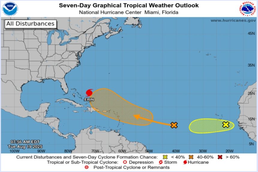
Erin, the first hurricane of the Atlantic season, continues to strengthen and increase in size Tuesday as it moves over the western Atlantic, raising the risk of dangerous storm surge, rip currents and heavy rains for the Turks and Caicos Islands, Bahamas and the U.S. East Coast, especially North Carolina.
The National Hurricane Center(NHC) warned Monday of increased storm surge and rip currents along much of the U.S. East Coast over the next several days, conditions it called “potentially deadly.”
Authorities issued a storm surge watch for the panhandle between Cape Lookout and Duck, North Carolina, where sea levels could rise by 0.6 to 1.2 meters, accompanied by large and dangerous waves.
In addition, 25 to 50 millimeters of rainfall is expected on the Outer Banks of North Carolina between Wednesday night and Thursday, with local accumulations of up to 100 millimeters that could cause flash flooding.
The center of the cyclone, a Category 3 out of 5 on the Saffir-Simpson scale, was located this morning about 1,070 kilometers southwest of Bermuda and 1,155 kilometers southeast of Cape Hatteras, North Carolina, with maximum sustained winds of 175 kilometers per hour.
The NHC warned that Hurricane Erin, a large system, has hurricane force winds extending up to 130 kilometers from its center and tropical storm force winds reaching up to 335 kilometers per hour.
Erin is moving northwestward at 11 kilometers per hour, with a turn to the north expected on Wednesday and to the northeast on Thursday, when the cyclone would move between the U.S. East Coast and Bermuda.
NHC forecasters are maintaining a tropical storm warning for the Turks and Caicos Islands and the southeastern Bahamas, where heavy rain, storm surge and wind gusts of tropical storm intensity are expected.
A tropical storm watch is also in effect for the central Bahamas, which means that these conditions could develop over the next 48 hours.
The phenomenon emerged as a tropical storm on Monday of last week near Cape Verde in Africa, where it left seven dead, and became a hurricane last Friday, after the formation in the Atlantic of cyclones Andrea, Barry, Chantal and Dexter.
Chantal was the first to make landfall this year in the United States, where she left at least two people dead in North Carolina in July.
The National Oceanic and Atmospheric Administration (NOAA) maintained its forecast of an “above normal” hurricane season, estimating between 13 and 18 tropical storms, of which between five and nine could become hurricanes, according to EFE.
For more information, visit QuéOnnda.com.