During the first week of June this 2025, a series of low pressure systems are expected to bring daily severe thunderstorms to much of the southern and central United States.
These conditions will affect more than 100 million people from Texas to the East Coast, with significant risks of damaging winds, hail and torrential rains.
Regions most at risk

The areas most affected by the storms include:
Red River Valley between Texas and Oklahoma, where a rare “high risk alert” has been issued by AccuWeather meteorologists.
Cities such as Dallas, Atlanta, Chicago and St. Louis, which could experience air and ground transportation disruptions due to adverse weather conditions.
These storms can rapidly develop into supercells, with the potential to generate tornadoes, especially during the nighttime hours, when they are more difficult to detect.
Impact of heavy rains

In addition to the risks associated with winds and hail, heavy rains pose a significant threat.
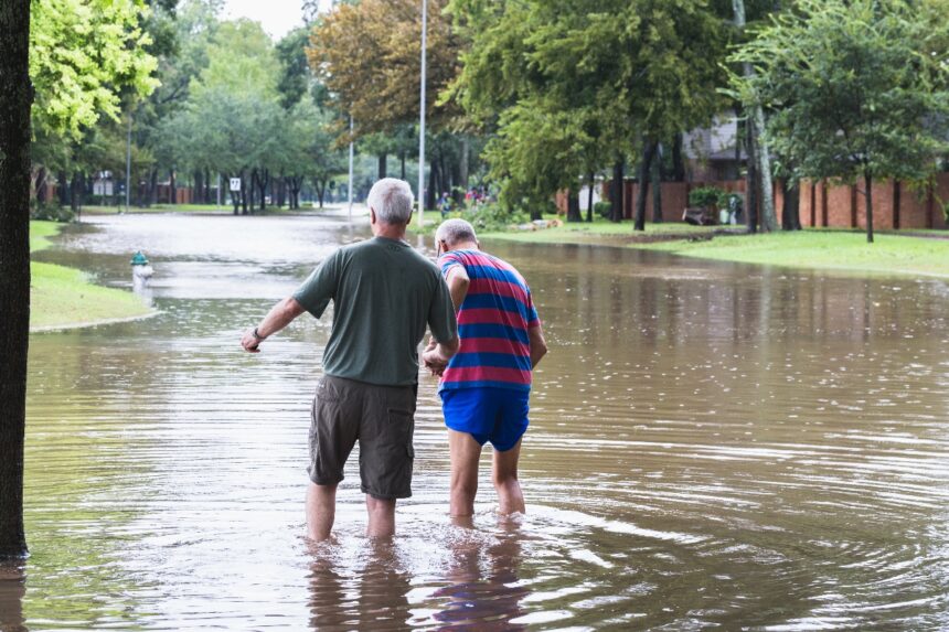
Repeated rainfall on already saturated soils can cause flash floods.
Estas condiciones afectarán a más de 100 millones de personas
Especially in areas such as eastern Oklahoma and southern Kansas, where excess rainfall of 5 to 10 centimeters above average for this time of year has already been recorded.
Drivers should be alert to possible accumulations of water on the roads and avoid crossing areas flooded by storms.
Recommendations for the population

In view of these conditions, residents of the affected areas are advised:
Stay informed through official sources such as the National Weather Service (NWS) and reliable applications such as AccuWeather.
Prepare an emergency kit that includes water, non-perishable food, flashlights and extra batteries.
Identify evacuation routes and nearby shelters in case of emergency.
Avoid outdoor activities during storm warnings and seek shelter in safe structures.
Preparedness and constant vigilance are key to minimizing the risks associated with these extreme weather conditions.
For more information, visit QuéOnnda.com.


