During July of this 2025, millions of people in the eastern and midwestern U.S. faced extreme heat waves: heat indexes exceeding 105 °F (40-43 °C) temperatures and nights without thermal relief.
This heat has been largely attributed to climate change, making these events at least three times more likely for about 160 million people.
Cold front brings relief
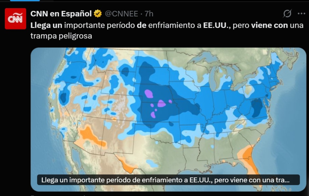
Later this week, a broad area of high pressure is expected to pass through from Canada followed by a cold front.
This will cause a pronounced thermal decrease in the central-north and east of the country, with temperatures dropping to almost 11 °C below the current peak.
Today – 39° 22° – Sunny to partly cloudy
Wednesday – 30° 19° – Thunderstorm in parts of the area
Thursday – 26° 15° – Some thunderstorms
Friday – 25° 16° – Localized Thunderstorm
Saturday – 28° 19° – Possible rain showers
Sunday – 29° 17° – Thunderstorm in parts of the area
Monday – 32° 18° – Thunderstorm in parts of the area
Beginning Wednesday, highs are forecast to drop toward 86 °F (30 °C), reaching 78 °F (25 °C) by Friday in several regions.
The effect will be most noticeable in the Midwest, Ohio Valley, Northeast and Atlantic seaboard.
A broad area of high pressure is expected to move through
QuéOnnda.com
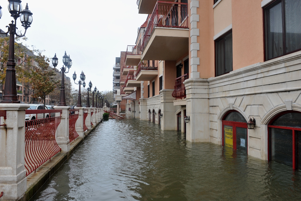
Storms and floods: the new danger
Buzzy

The relief brings with it accumulated moisture and conditions conducive to severe thunderstorms.
Heavy rains and moderate to high risk of flash flooding are anticipated, especially in areas of the Northeast and Midwest that have already experienced disruptive events this summer.
The risk of flooding from torrential rains is at level 2 out of 4 in critical areas such as New York, Philadelphia and Washington.
Impacts by city

Chicago will go from over 100 °F to around 86 °F this Wednesday, temperature drops that continue on Thursday.
New York will also drop to between 21 and 25 °C (~70-75 °F) by Friday, in contrast to near 32 °C today.
Washington, DC, will see dramatic highs drop to about 21 °C on Friday after touching nearly 36 °C this week.
In the South, cities such as Little Rock and Atlanta will also feel the cooling although to a lesser degree, stabilizing in the low 30s °C by Thursday and weekend.
Although there will be a lull in the heat, weather models predict a probable return of high temperatures in the first week of August.
This fluctuation reflects new weather patterns where extreme summers alternate with abrupt cooling.
For more information, visit QuéOnnda.com.